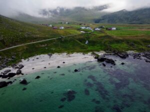
The Offersøykammen hike is a very special hike in the Lofoten Islands, because from the summit you have a spectacular 360 degree view of the numerous peaks of Lofoten and can even see the Haukland Beach. The hike to the top of Offersøykammen is still rather unknown and therefore almost an insider tip. Which of the two possible starting points of the hike you should choose and how strenuous the hike to Offersøykammen really is you will find out now.
Offersøykammen Hike
The hike to the 436 meter high Offersøykammen is one of the more untouristic hikes in the Lofoten. Although the hike offers a wonderful 360 view from the summit, the crowds here are not comparable to more crowded Lofoten hikes like Reinebringen or Ryten.
Especially if you start early, you will have to share the view from the top only with a few others.
For the start of the hike there are currently 2 possibilities, which are differently steep. Where exactly these two starting points are we will tell you in the next section.
Starting Points of the Offersøykammen Hike (Parking)
To get to Offersøykammen you can choose between 2 starting points. From starting point #1 you walk a bit shorter, but the start is extremely steep and exhausting. From starting point #2 you run a bit more, but the start is much less steep.
Starting point #1: Steep and Shorter
The starting point for the shorter, but much steeper version of the trail can be found here on Google Maps. You can park your car right next to the road. There is no official parking lot here. The first few hundred meters are really steep uphill. Therefore, we have decided for the other starting point.
Starting point #2: Longer & Less Steep
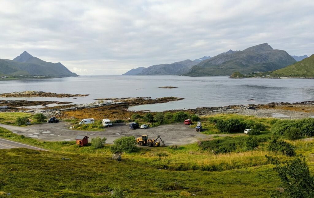
We chose this starting point, which is located just before a tunnel. First of all, there is a really big and also free parking lot here (Google Maps) and the path starts here also much less steep.
But you walk a few hundred meters further than at the first starting point. After about 1 km, the two trails meet at a fork and from there the path runs together upwards.
The Start of the Offersøykammen Hike
From the parking lot it is best to follow our (or another) GPX route the whole time, because the hiking trail to the top of Offersøykammen is unfortunately completely unsigned. So it is very easy to take the wrong way as it happened to us.
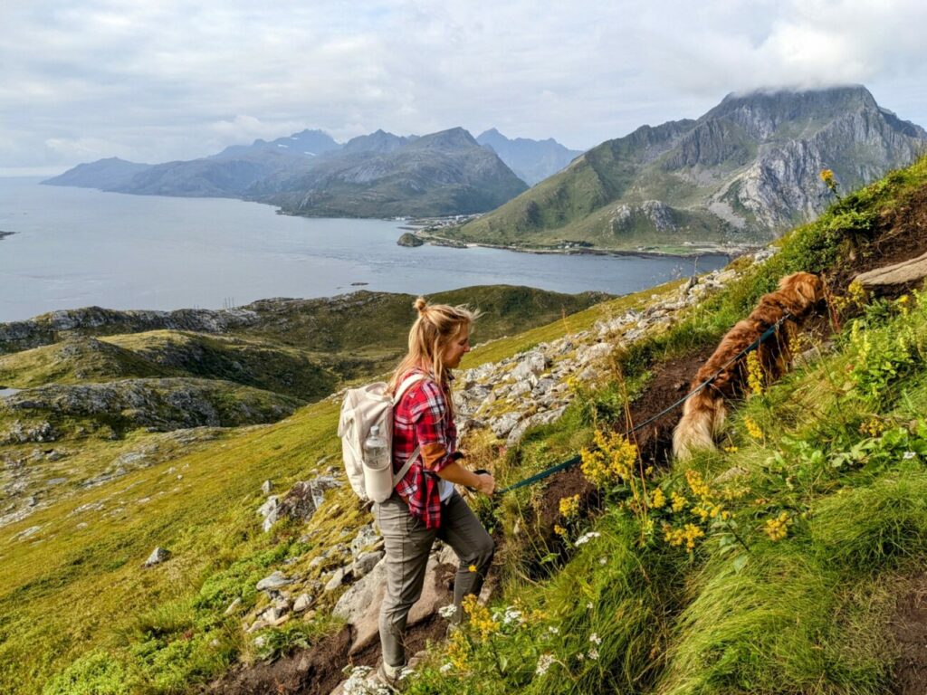
When you start at the parking lot, the first 5 minutes are relatively steep uphill before you reach a flatter part where you pass some smaller ponds where our dog Aaro could drink enough. There the path also starts to get very muddy and slippery.
It had rained heavily in the days before, which unfortunately did not make the path better. In general, however, the trail is quite difficult to walk, because it is quite a bad trail. Often there are smaller and larger stones, there are many puddles and also a lot of mud.
So you have to look a lot on the ground while walking to not stumble or sink in a puddle of mud.
As you continue running, you see how the summit builds up in front of you, but it still looks pretty far away. The path gets slowly steeper and steeper and it is really exhausting, but after less than 2 hours we finally reached the summit and were almost alone up there.
We reached the Summit
At the top you have a wonderful 360 degree panoramic view and see among other things the wonderful Haukeland Beach. Up here, by the way, there are also several viewpoints, so people can spread out on the summit.
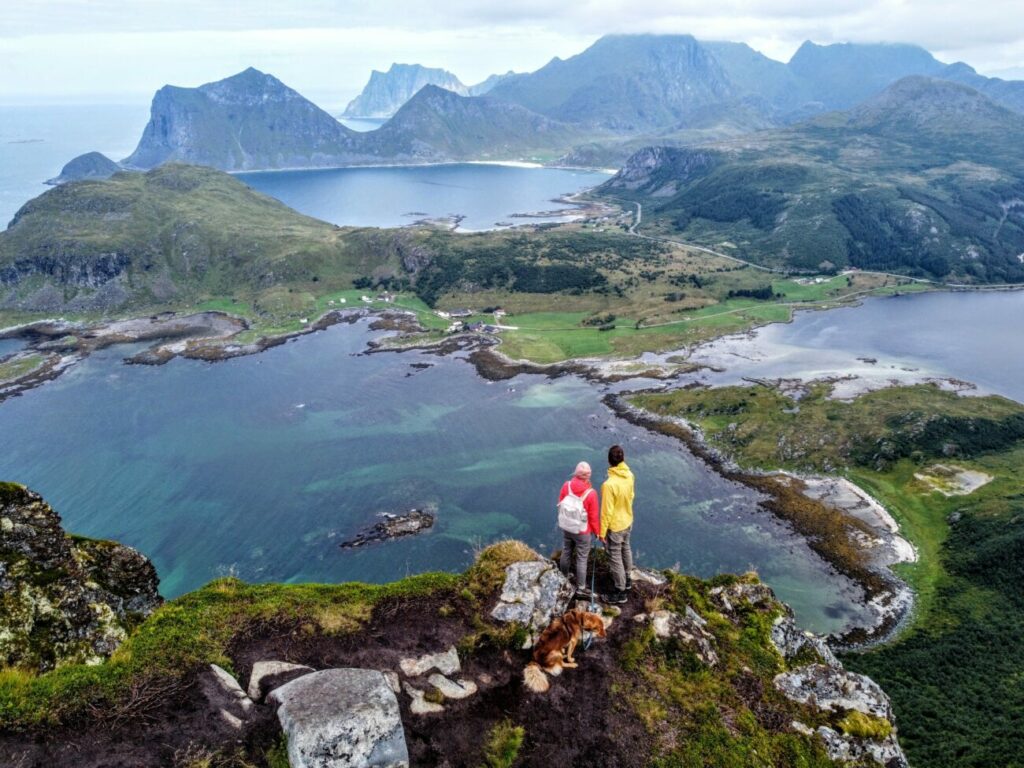 The view from up here is really fantastic and we can’t get enough of it. As we make our way back to the parking lot it is again very strenuous, because the path is of course still very muddy and slippery. I’m sure 10 times slipped, but thank god it’s always gone well.
After a total of 4 hours and 5.5 km we arrived safely at the parking lot.
Tips for the Offersøykammen Hike
Best Time for the Hike
The best time for this hike is the summer from June to early October. You should start early in the morning if you want to climb to the top with possible few other tourists.
Offersøykammen Hike with Dogs & Kids
We walked the hike with our retriever mix Aaro and for him it was absolutely no problem. Also for children the hike should be absolutely doable if you have some hiking experience.
You should only be careful on the summit, because it goes extremely steep downhill on one side, so it can be dangerous for small children and also dogs.


