The Seceda ridgeline is one of the most breathtaking hikes you can do in the italian Dolomites. The nature up here is beautiful and there are numerous trails that will take you high up to the summit. What you can experience on the Seceda hike, which cable car you should take and how long the hike will take in total, we tell you now in our complete guide to hiking seceda.
Hotel Recommendation near Seceda Italy
Residence Cesa Callegari in Wolkenstein
In this charming accommodation at the end of the ski resort Selva di Val Gardena you have spacious apartments with kitchen and large living room. 
You can even use the large garden which was really great for us with our dog Aaro.
From Selva Gardena you are quickly at the many highlights of the Dolomites such as Seceda, the Sella Pass or Catinaccio.
- spacious apartments
- possibility to use the garden
- rustic furnishings with everything you need
- central position
Facts about the Hike to Seceda
The Seceda hike is one of the most spectacular hikes in South Tyrol and awaits you with a natural scenery that cannot be captured in photos. You simply have to have seen and experienced it. When we stood at the top of the mountain station we didn’t know so much where to go and which is the most beautiful hiking trail to the Seceda peak.
So that you are not faced with the same questions, we have written down the most important tips for the Seceda hike.
How to get to Seceda Trail | Col Raiser Valley Station
We would recommend you to start the hike from the Col Raiser top station if you want to visit Seceda. On the way from the top station to the Seceda summit you can enjoy the wonderful nature of the mountain world to the fullest and don’t have to take the arduous way from the valley. Between the towns of Ortisei and Selva Gardena you will find the valley station of the Col-Raiser cable car. There is a large parking lot that costs only 1 Euro per hour.
You can find the parking lot here on Google Maps.
From Col Raiser to Seceda Dolomites
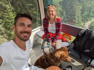 The Col-Raiser cable car takes you up the mountain in about 10 minutes and costs 25 Euro per person for a ride up and down. If you only want to go up, because you want to walk down, you pay 17 Euro. A dog costs a flat rate of 5 Euro. It is important to note that the Col Raiser cable car only runs between 8:00 and 17:00, even in summer.
Check the website of the cable car operator the exact opening hours and current prices. So if you start your hike too late – and you should plan on at least 3-4 hours on the summit – you won’t be able to use the cable car to get down to the valley. But this is not a problem, because from the top station you can get back to the valley on foot in about an hour.
The Hike from the Col Raiser Mountain Station to Seceda
When you arrive at the Col Raiser mountain station, you will pass by the Almhotel Col Raiser, where you can also spend the night. Then you will already be in front of the imposing mountain scenery in front of which today’s hike will take place. During our visit at the end of May, we were almost the only visitors both at the cable car and on top of the mountain. This will probably not be like that in the high season.
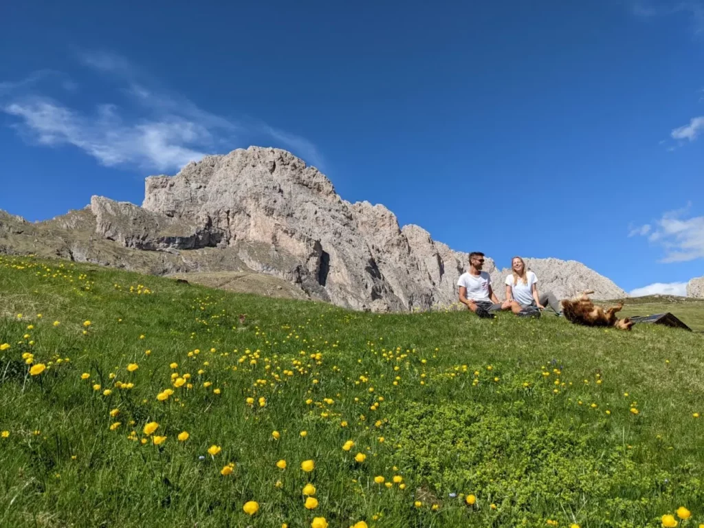
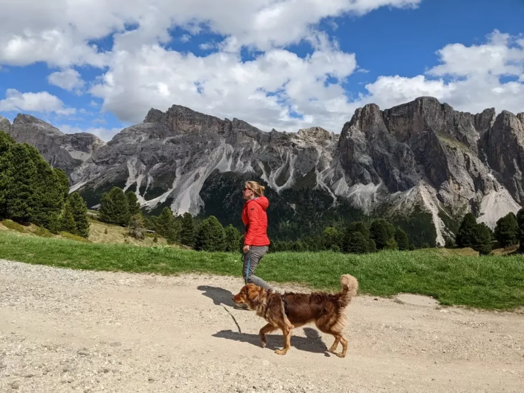
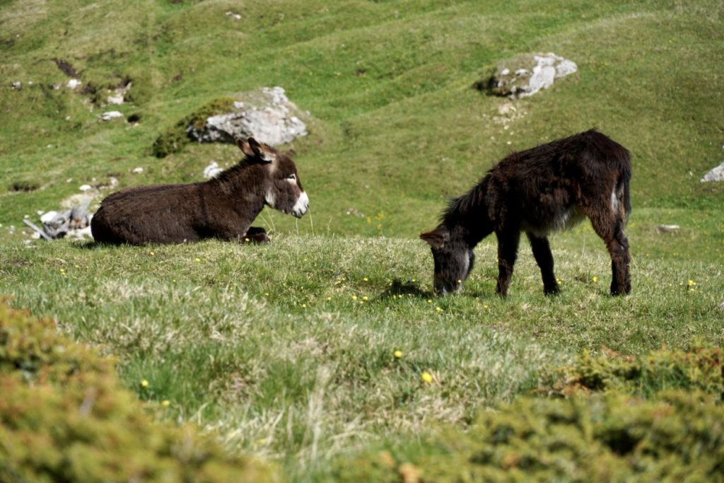
You should keep left here and follow the hiking trail 4A. This trail is already pretty good and in good weather you have a wonderful panoramic view of the rugged rocks of the surrounding mountains. Everywhere it is green and blooming and especially in springtime you can’t get enough of the different colored flowers. On the way, with a little luck, you will also meet a group of donkeys that have made themselves comfortable on the lush meadow. Really a great photo motif.
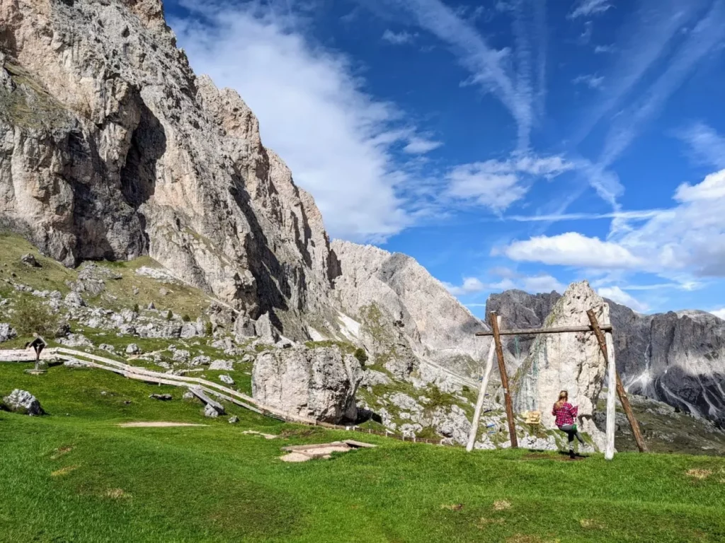
After a short time you will reach the Pieralongia hut, where you can also get some food and drinks – if you are hiking in the high season. There the Seceda hike turns onto path 2B. Before you continue, you should pay a short visit to the swing there. You heard right, there is a swing with a wonderful view of the dolomitic mountains. Once again a really great photo motif.
From there it goes a bit steeper uphill and if you are lucky you will hear loud cries shortly before the summit, which seem to come from birds. However, these are marmots that emit loud cries to warn their fellow species of you.
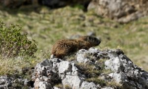
If you look around attentively then you will be able to spot a few of these cute animals. After a few hundred meters you will finally reach the highest point and with it the famous viewpoint.
Panascharte | The most spectacular Seceda Viewpoint
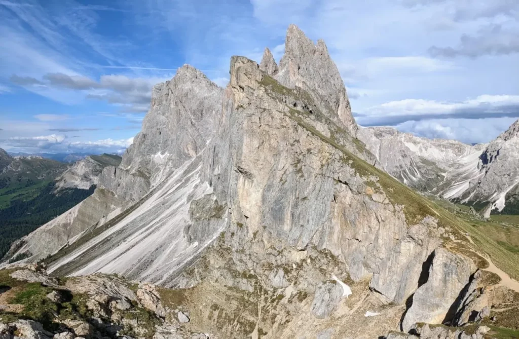
If you type Seceda Dolomites Hike in Google or if you have researched elsewhere about this hike, you will probably have a very specific photo in your mind. The famous picture of the almost vertical cliffs. This is the Panascharte viewpoint and the photo motif why most people do the Seceda hike. When you reach the highest point of the trail, you just have to take a few steps to the left and choose a nice spot on the cliff and voila: The spectacular panorama is in front of you.
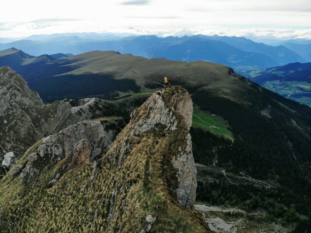
If you want to have an even more spectacular photo motif, you can walk along the cliffs (away from the cable car station) until you come to a small wooden fence. Here a sign indicates that from this point on only experienced climbers are allowed to continue.
But if you are as adventurous as we are then you climb over the fence and walk about 200 meters steeply uphill until you are almost at the highest point. Then go left along the meadow until you are directly at the mighty cliff that you have seen from the Panascharte viewpoint. If you have a drone, you can take incredibly beautiful pictures here. But be careful: Only one wrong step and you fall several hundred meters into the depth!
The way back from Seceda in South Tyrol
If you – like us – have left yourself far too much time to take pictures and marvel, then you can also hike a shorter way back to the Col Raiser mountain station. You hike the same way downhill for a few hundred meters that you came. Then, however, you do not turn left – from where you came – but go straight ahead on path 1, which will lead you a little faster back to the mountain station.
If, like us, you start the Seceda hike in the early afternoon and therefore arrive back at the Col Raiser top station after 5pm, you will unfortunately have to walk to the bottom station. The way down is well developed and it takes about an hour to get back to the valley station and the parking lot. If you are early enough at the top station, then just take the cable car and ride down to the valley in about 10 minutes.
Info about the Seceda Hike
The Seceda hike is one of the most popular hikes in the region and also in the entire Dolomites. No wonder with the mountain panorama and the wonderful landscape. In the high season you should be prepared for a large number of tourists. Therefore, it may make sense to start the hike in the early afternoon as we did.
There are also different hiking trails that lead through the Seceda area and you can of course do another hike than the one we described. You should only keep in mind that you should finish at the Panascharte viewpoint. Therefore, you don’t necessarily have to do a circular route here, but you can also go back the same way you came.
Either way you will have a great time, because the Seceda hike was one of the most beautiful hikes we have done in the Dolomites.
Seceda Hike with your Dog
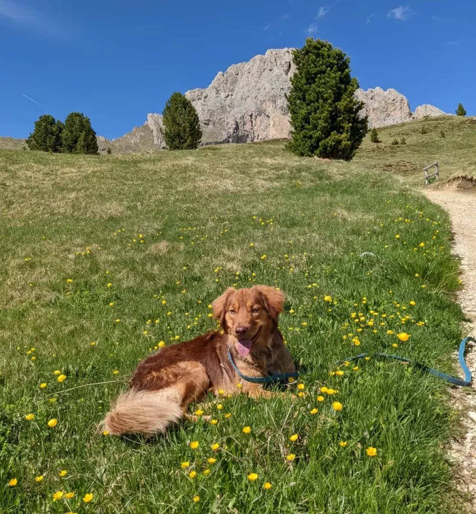
We walked the Seceda hike with our dog Aaro and we think that the Seceda hike is also super suitable for dogs. It is definitely allowed to walk the Seceda hike with a dog if he walks on a leash. However, there are no real water points where your dog can drink. Therefore, you should have enough water for your four-legged friend.
But if your furry friend is also as adventurous and sporty as our Aaro, then you will have a lot of fun together.


